Log in
All resources
Create a design
39,222 Free Images of 1911 Maps
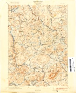
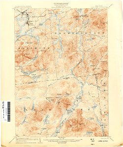
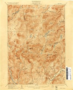
united states geological survey maps
topographic maps of new york (state)
maps of the adirondack mountains
old maps of new york (state)
maps in the library of congress
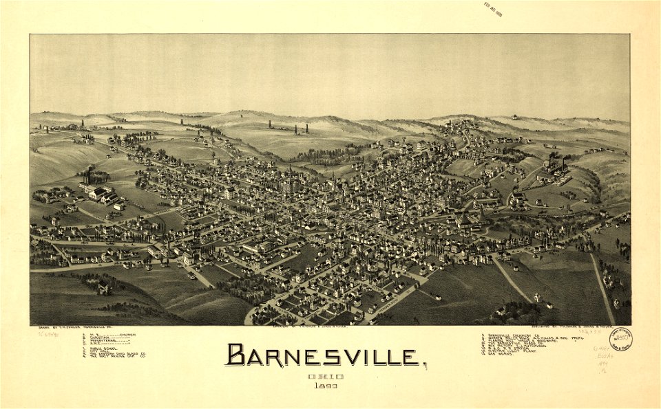
ohio
bird's eye view maps of ohio
albert ruger
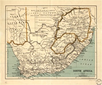
old maps of south africa
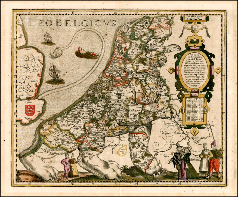
koninklijk nederlands aardrijkskundig genootschap
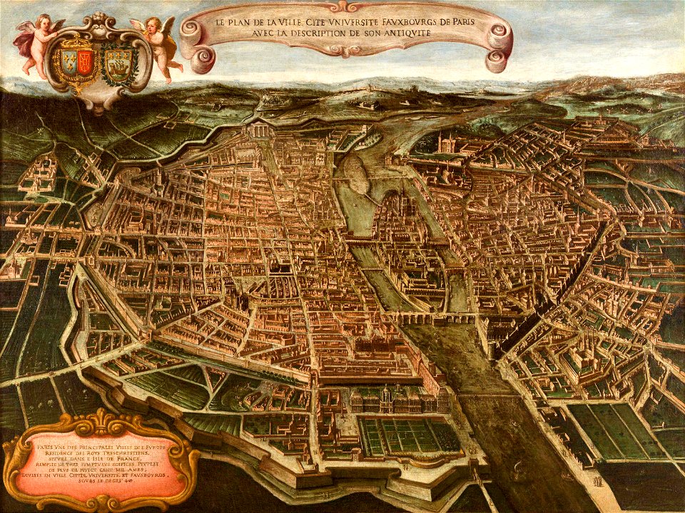
maps of paris from paris musées
paintings in musée carnavalet
1747 persia map by emanuel bowen
maps in the library of congress
old maps of guatemala
old maps of colombia
maps of the mariana islands
guam in the 18th century
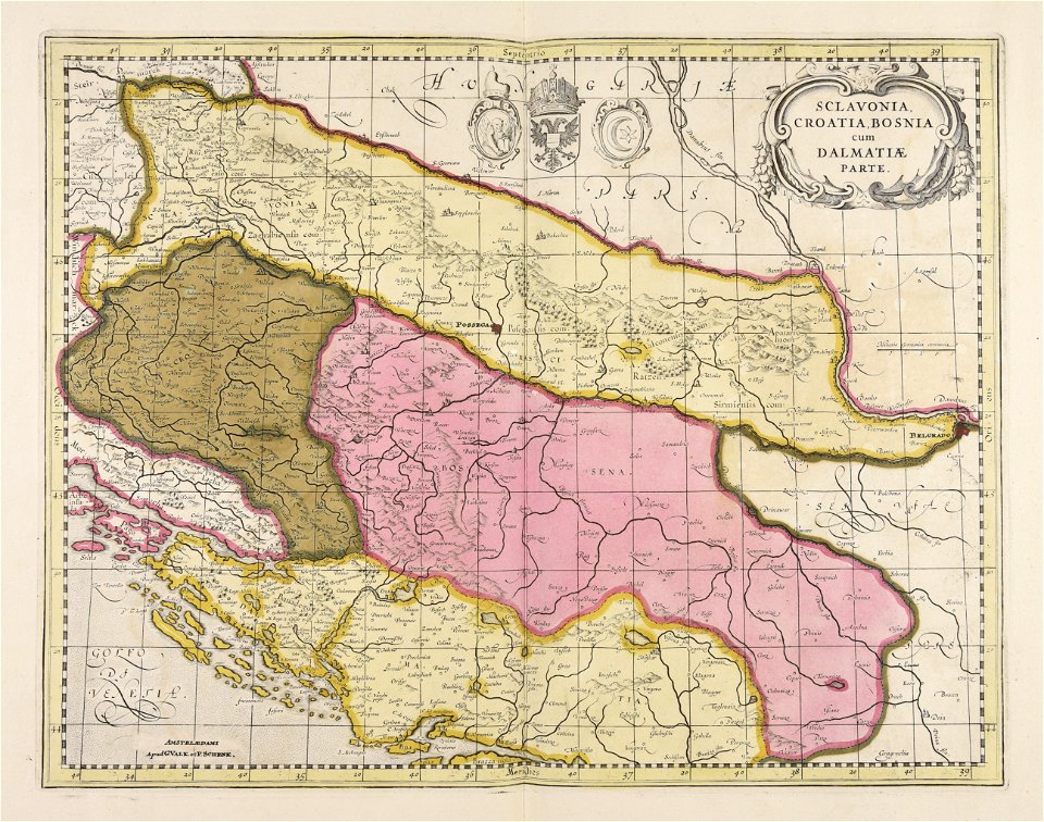
old maps of bosnia and herzegovina
gerard valck
landscape paintings in the honolulu museum of art
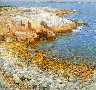
appledore island in art
mills in art
maishofen
uncle sam
puck
1910s paintings in unidentified private collections
paintings of hunters
kazimierz sichulski
1911 paintings
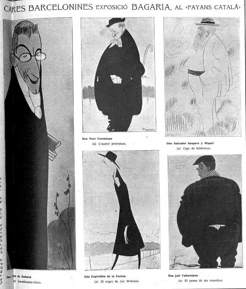
art works by bagaría in esquella de la torratxa
1911-05-05
portrait paintings in the rhode island school of design - museum of art
rhode island school of design museum
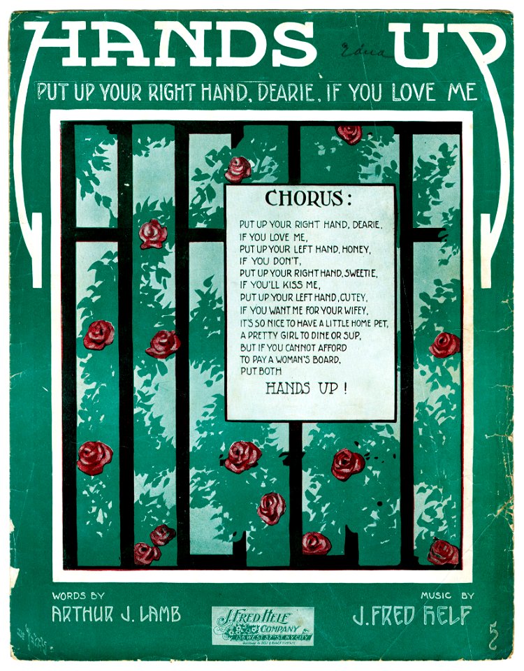
sheet music from the united states
music in 1911
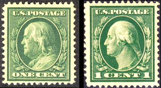
presidents of the united states on u.s. postage stamps
stamps of the united states 1901-1910
1911 paintings from russia
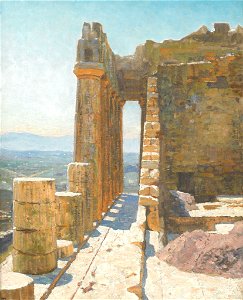
paintings of the parthenon
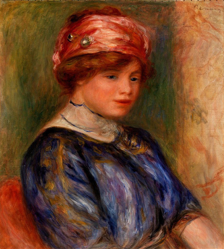
paintings by pierre-auguste renoir in the barnes foundation
portrait paintings in the barnes foundation
paintings by pierre-auguste renoir in the barnes foundation
portrait paintings in the barnes foundation
henrik grönvold
ibis (1911)
printing
1911
1911 drawings by egon schiele
topless self-portraits of men
robert delaunay
cubism
watercolor paintings of buildings
media from einst und jetzt
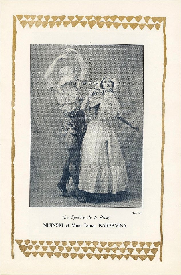
ballet photographs of vaslav nijinsky
1911
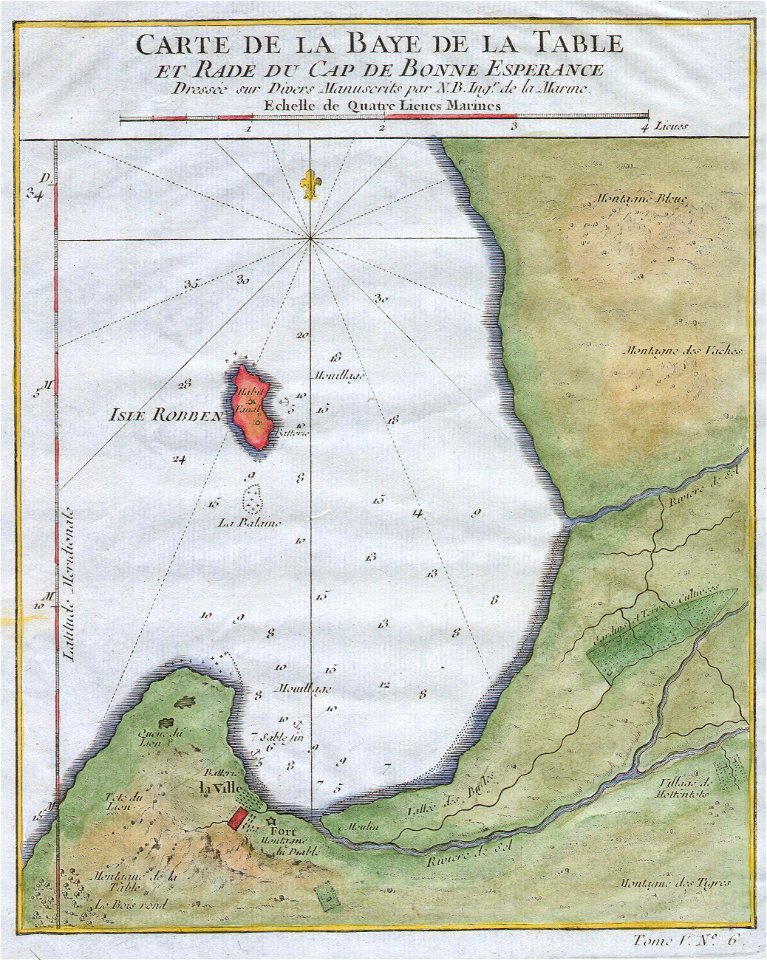
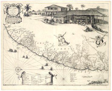
old maps of south africa
table bay
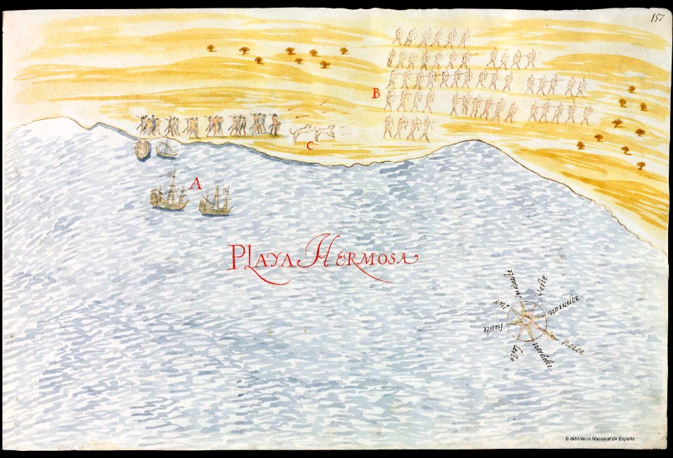
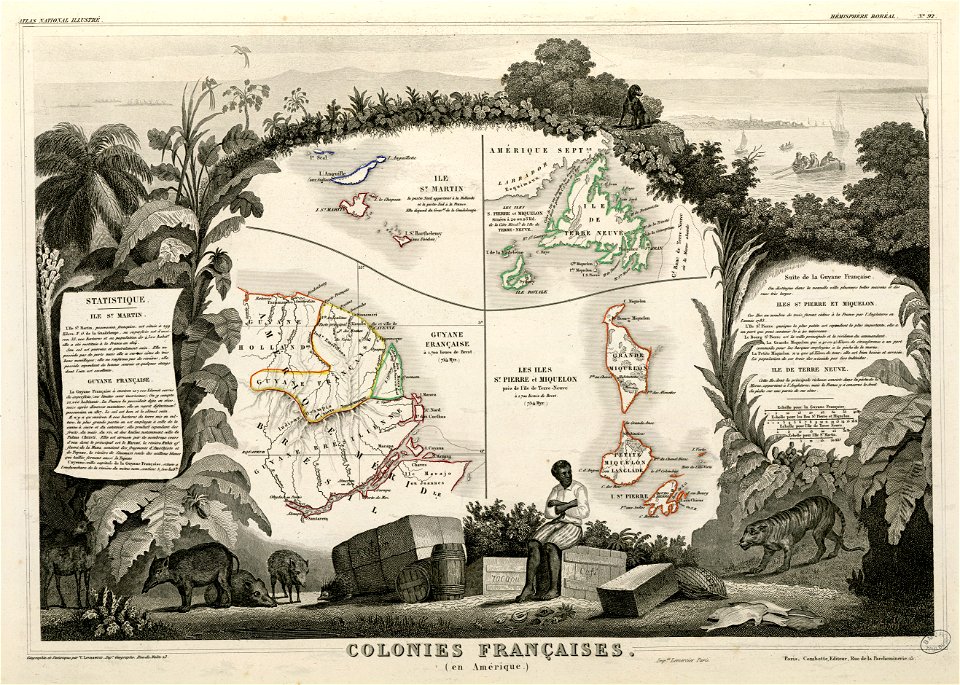
old maps of mexico
pictorial maps
prints from bonne atlas de toutes les parties at the peace palace library
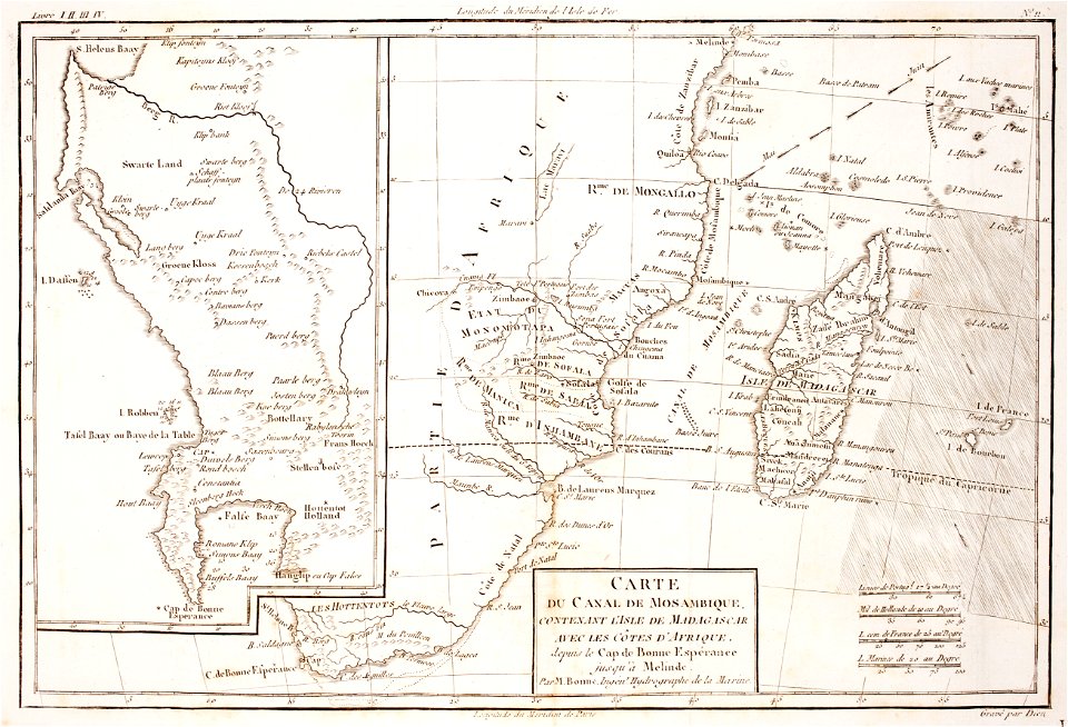
maps of the comoros
harvard university
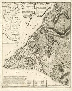
map of manhattan
koninklijk nederlands aardrijkskundig genootschap
map collection frederik muller & co
koninklijk nederlands aardrijkskundig genootschap
map collection frederik muller & co
details of 1830 vienna map series by carl graf vasquez
palais rasumofsky
koninklijk nederlands aardrijkskundig genootschap
map collection frederik muller & co
koninklijk nederlands aardrijkskundig genootschap
map collection frederik muller & co
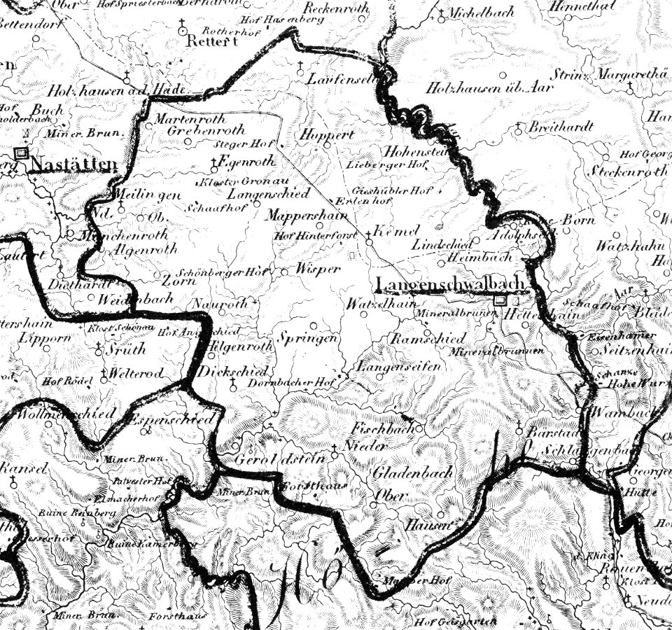
history of bad schwalbach
1828
coats of arms on maps
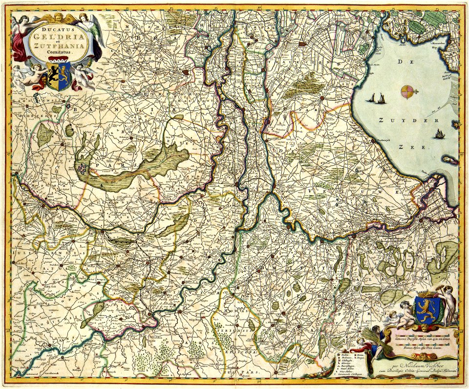
guelder
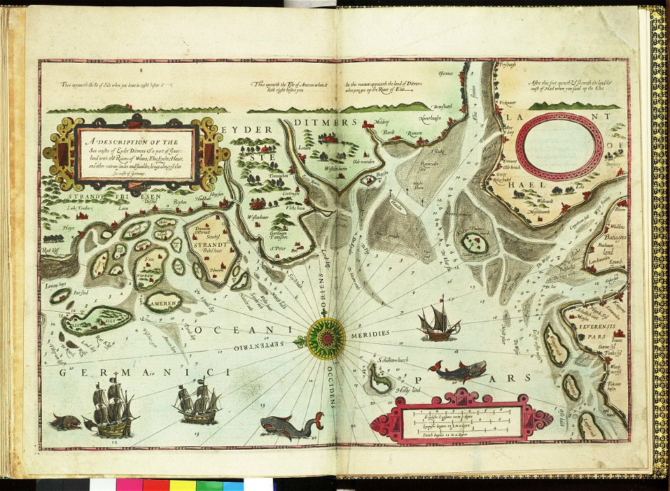
german bight
1588 maps
bad nieuweschans
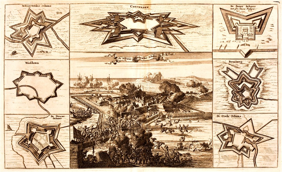
coevorden
maps by samuel de champlain
old maps of new france
maps in the library of congress
ohio
maps in the library of congress
ohio
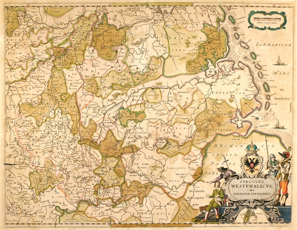
old maps of north rhine-westphalia
maps by willem and johannes blaeu
collections de la bibliothèque nationale et universitaire de strasbourg
german-language maps
english-language maps
1776 maps
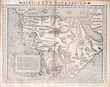
illustrations of cosmographia (münster)
1550s maps of africa
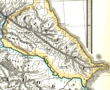
19th-century maps of the caucasus
1865 maps
united states geological survey maps
old maps of new york (state)
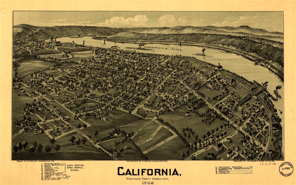
pennsylvania
california
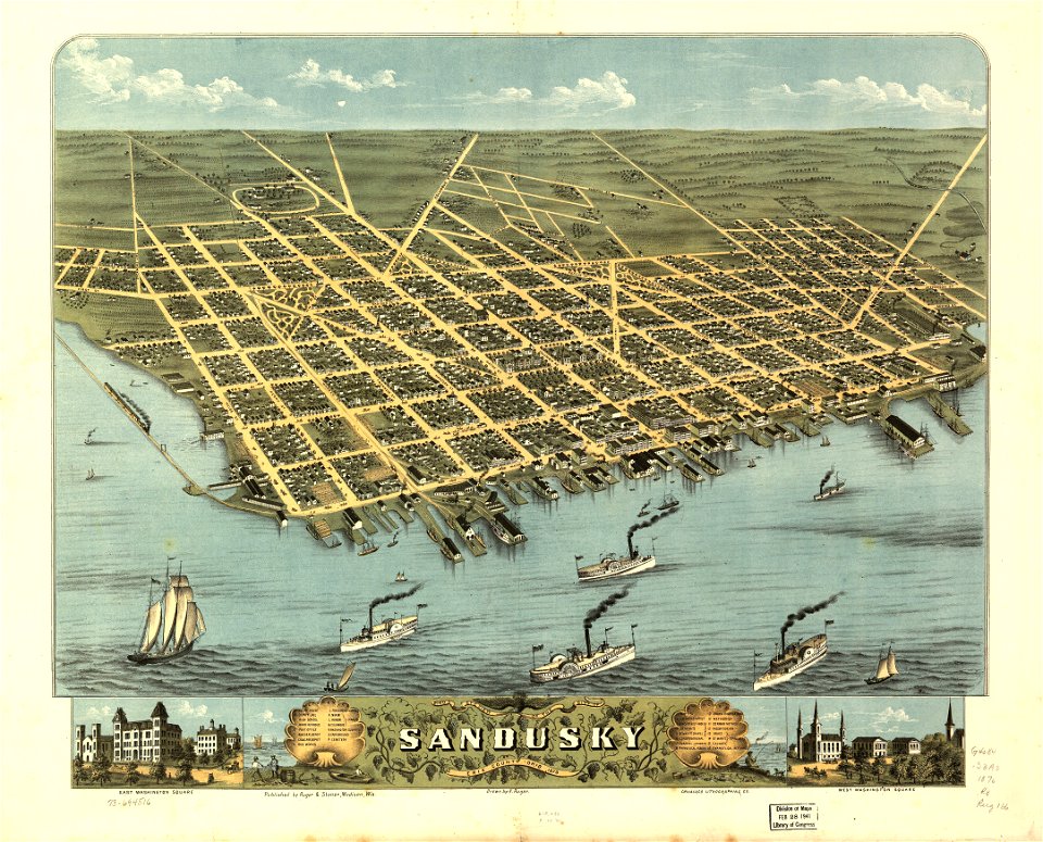
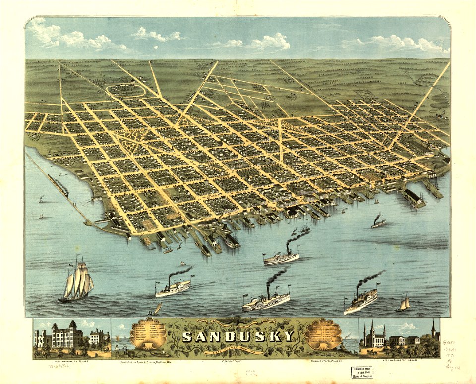
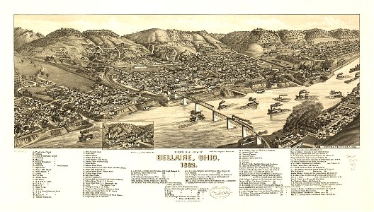
bellaire
ohio
bellaire
ohio
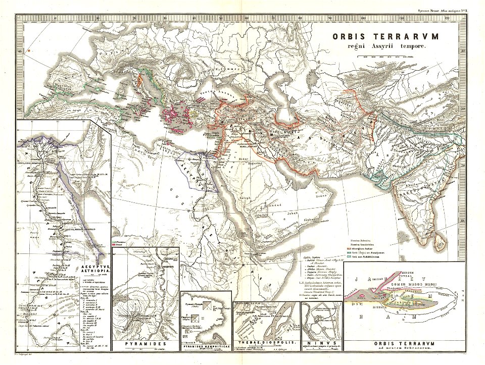
karl spruner von merz
1865 maps of europe
old maps of pernambuco
cornelis goliath
united states geological survey maps
old maps of new york (state)
maps in the library of congress
ohio
maps in the library of congress
ohio
pieter van der keere
ships on maps
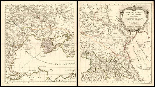
18th-century maps of the black sea
charles françois delamarche
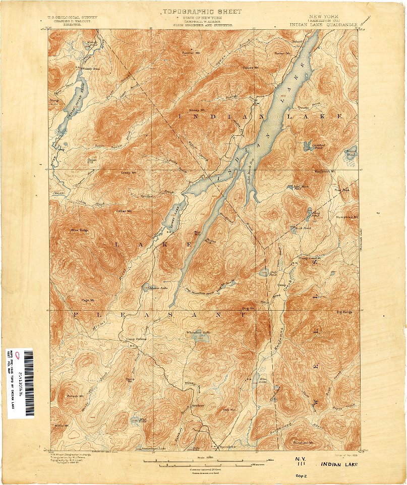
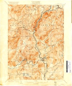
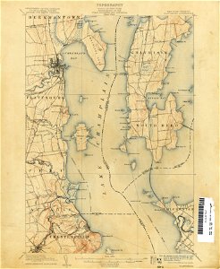
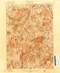
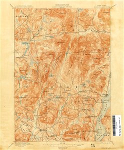
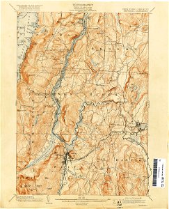
united states geological survey maps
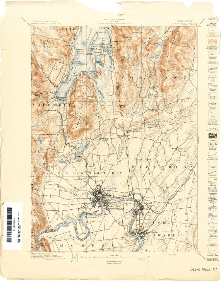
topographic maps of new york (state)
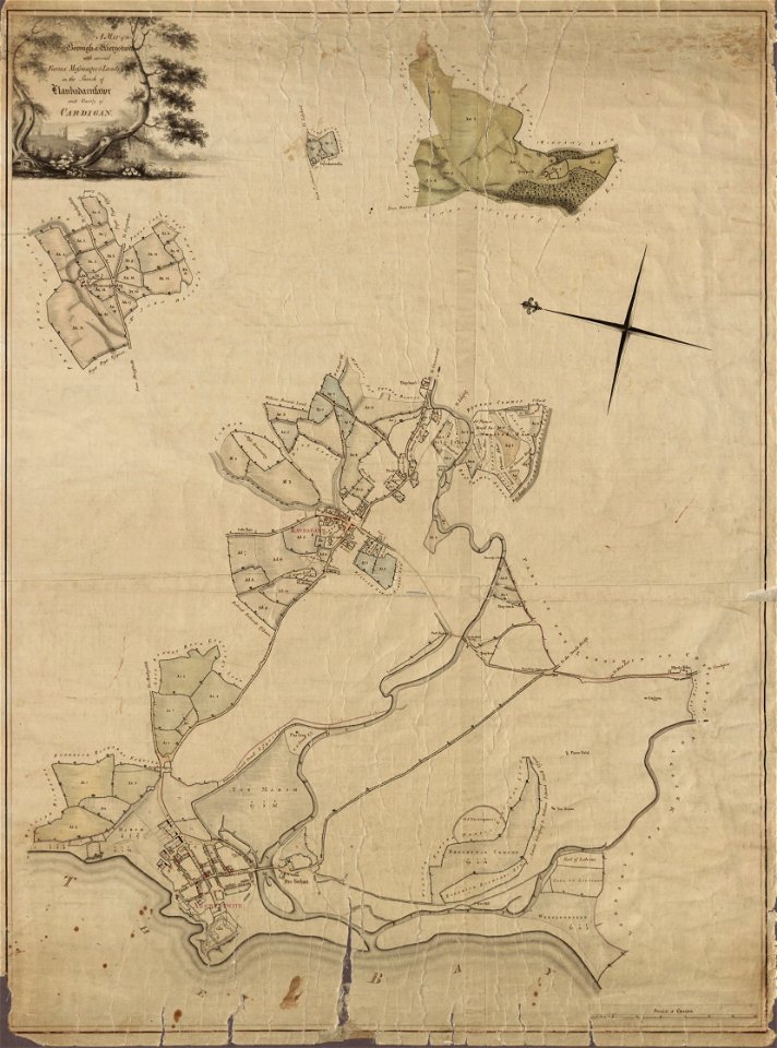
llanbadarn fawr
ceredigion
maps in the library of congress
1861 maps of south carolina
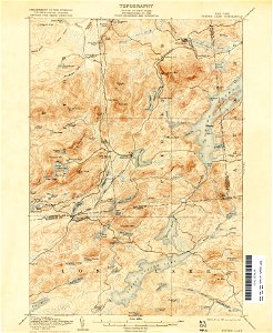
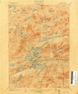
united states geological survey maps
old maps of new york (state)
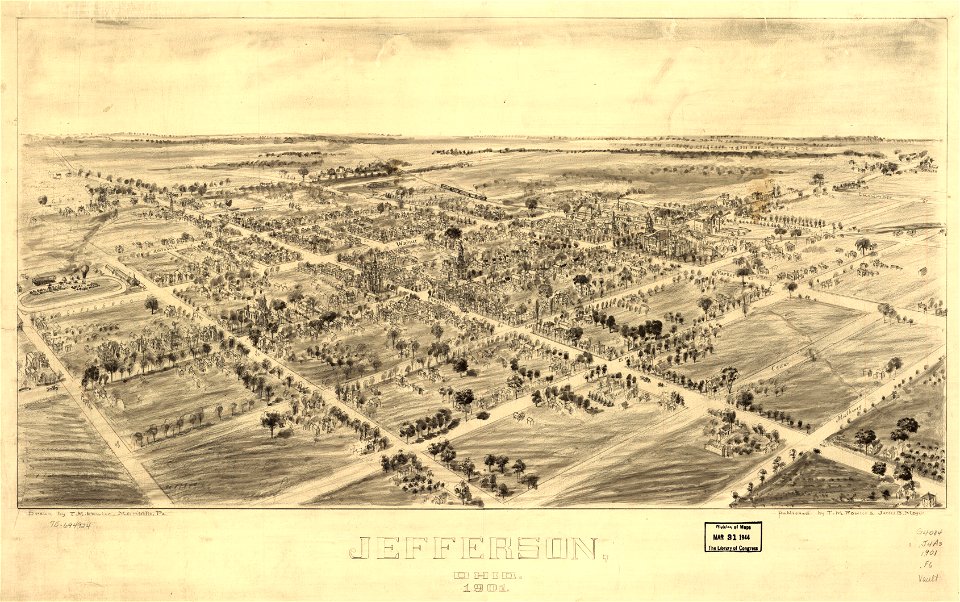
jefferson
ohio
jefferson
ohio
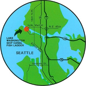
fish ladders in the united states
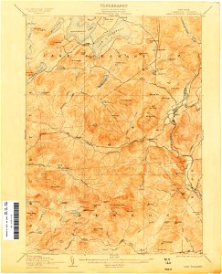
1996 maps
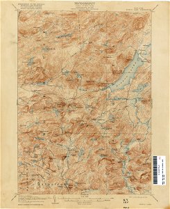
united states geological survey maps
old maps of new york (state)
giovanni marco pitteri
italian-language maps
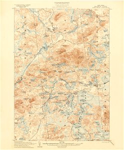
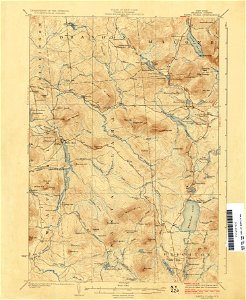
united states geological survey maps
old maps of new york (state)
united states geological survey maps
old maps of new york (state)
united states geological survey maps
old maps of new york (state)
united states geological survey maps
old maps of new york (state)
united states geological survey maps
old maps of new york (state)
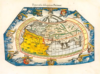
ptolemaic world maps
latin-language maps
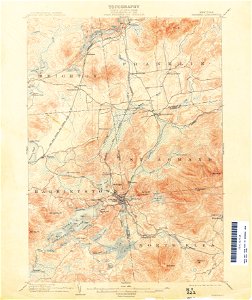
united states geological survey maps
old maps of new york (state)
united states geological survey maps
old maps of new york (state)
united states geological survey maps
old maps of new york (state)
united states geological survey maps
topographic maps of new york (state)
maps in the library of congress
old maps of south africa
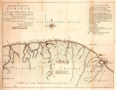
old maps of suriname
old maps of guyana
united states geological survey maps
old maps of new york (state)
united states geological survey maps
old maps of new york (state)
maps in the library of congress
old maps of south africa
united states geological survey maps
old maps of new york (state)
united states geological survey maps
old maps of new york (state)
united states geological survey maps
old maps of new york (state)
united states geological survey maps
old maps of new york (state)
united states geological survey maps
old maps of new york (state)
fonds ancely - bibliothèque municipale de toulouse - maps
old maps of guyana
united states geological survey maps
topographic maps of new york (state)
maps in the library of congress
old maps of massachusetts
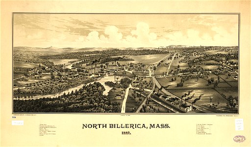
maps in the library of congress
old maps of massachusetts
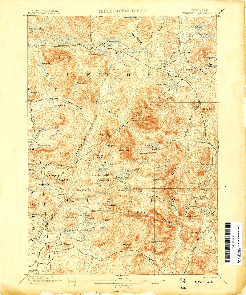
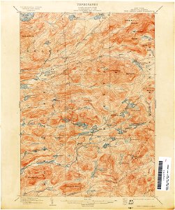
united states geological survey maps
topographic maps of new york (state)
united states geological survey maps
old maps of new york (state)
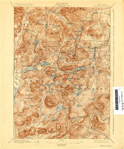
united states geological survey maps
topographic maps of new york (state)
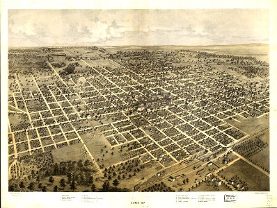
maps in the library of congress
illinois
maps in the library of congress
illinois
united states geological survey maps
old maps of new york (state)
united states geological survey maps
old maps of new york (state)
united states geological survey maps
old maps of new york (state)
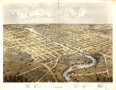
wisconsin
watertown
united states geological survey maps
old maps of new york (state)
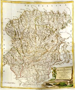
old maps of the province of bergamo
maps by antonio zatta
tennessee
virginia
3401 - 3500 of 39,222
Next page
/ 393